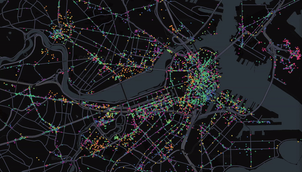
Inequality is one of the most important problems in our societies. For example, economic inequality is today higher than it was in the 1970’s and by some metrics stands at levels not seen since the last Great Depression. A special form of segregation is that happening in our cities. We share the public places, our workplaces and our residential neighborhoods with people like us: same type of jobs, same education, similar economic status, and political opinions.
That segregation has an enormous costs in our societies: for example, top 1 percent income group live 10 to 15 years longer than their counterparts in the bottom 1 percent income group. Children with more exposure to distressed neighborhoods have worse educational outcomes and higher levels of segregation are associated with high homicide rates, slower economic growth or less innovation over time. To understand this problem most interest and policies for cities are focused on neighborhoods. The assumption is that our behavior is mainly determined by the place where we live. However, most of our daily activities happen well beyond our residence and we interact and encounter people in many different places around the city. This implies that segregation or isolation in our cities is mainly encoded in our choices, our daily behavior, not where we live. The unavailability of high resolution data about those daily choices have prevented researchers to understand behavioral segregation, limiting our understanding of what is happening in cities to residential segregation or very small studies based on personal surveys. We have partnered with Location Based Services companies to access massive datasets about people’s movements in big cities in the US. Our plan is to go beyond residential segregation and develop the tools and models to understand economic segregation at the level of public places, workplaces, shopping centers, but also to come up with measures of how even a single individual is segregated. Also that information will allow us to create high-resolution temporal encounter networks in the city that can be use not only to study segregation, but other problems like disease propagation, crime prediction, etc. We plan to create the most detail map of how people encounter and interact in the city. This tool will allow researchers to have better models of mobility, city planners can make better data-driven decisions about how to shape their communities, how to invest their money or where to locate their new business while mitigate segregation.
Knowing also what are the behavioral traits (preferences, commuting patterns, leisure activities, exercise habits) of individual users in their segregation will allow companies and city planers to design behavioral interventions to change our segregated behavior. To test that, our plan is to use our modeling of individual segregation to be able to partner with decision-makers, city planers or companies in deploying small intervention experiments in local neighborhood. This is a rather interdisciplinary research and we are reaching out to scientists in Social Sciences, Civil Engineering in Harvard, Northeastern University, MIT or the Boston Area Research Initiative to help us build those tools.