Rhythm of the streets: a street classification framework based on street activity patterns

Abstract
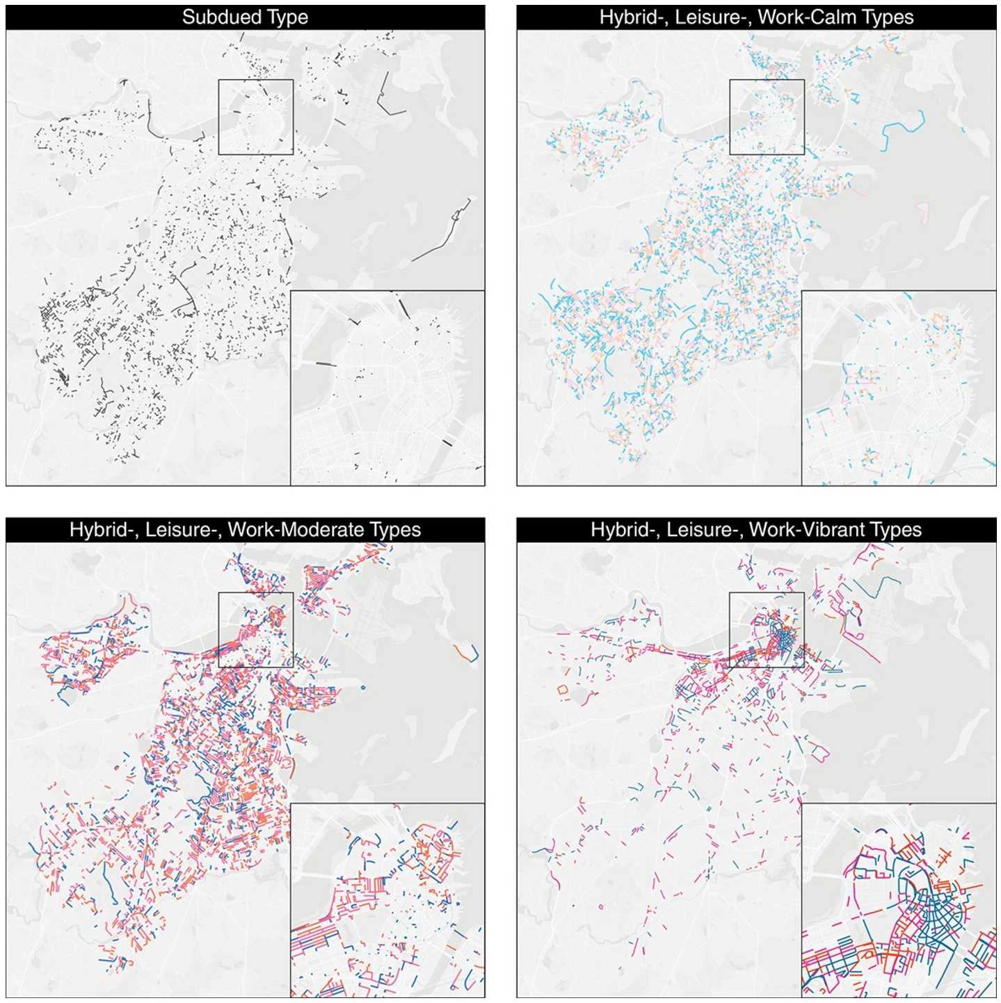
As the living tissue connecting urban places, streets play significant roles in driving city development, providing essential access, and promoting human interactions. Understanding street activities and how these activities vary across different streets is critical for designing both efficient and livable streets. However, current street classification frameworks primarily focus on either streets’ functions in transportation networks or their adjacent land uses rather than actual activity patterns, resulting in coarse classifications. This research proposes an activity-based street classification framework to categorize street segments based on their temporal street activity patterns, which is derived from high-resolution de-identified and privacy-enhanced mobility data. We then apply the proposed framework to 18,023 street segments in the City of Boston and reveal 10 distinct activity-based street types (ASTs). These ASTs highlight dynamic street activities on streets, which complements existing street classification frameworks, which focus on the static or transportation characteristics of the street segments. Our results show that a street classification framework based on temporal street activity patterns can identify street categories at a finer granularity than current methods, which can offer useful implications for state-of-the-art urban management and planning. In particular, we find that our classification distinguishes better those streets where crime is more prevalent than current functional or contextual classifications of streets.
Citation
Rhythm of the streets: a street classification framework based on street activity patternsSu, Tianyu and Sun, Maoran and Fan, Zhuangyuan and Noyman, Ariel and Pentland, Alex and Moro, Esteban
EPJ Data Science (2022) [Full Text]